Northern Circuit Route
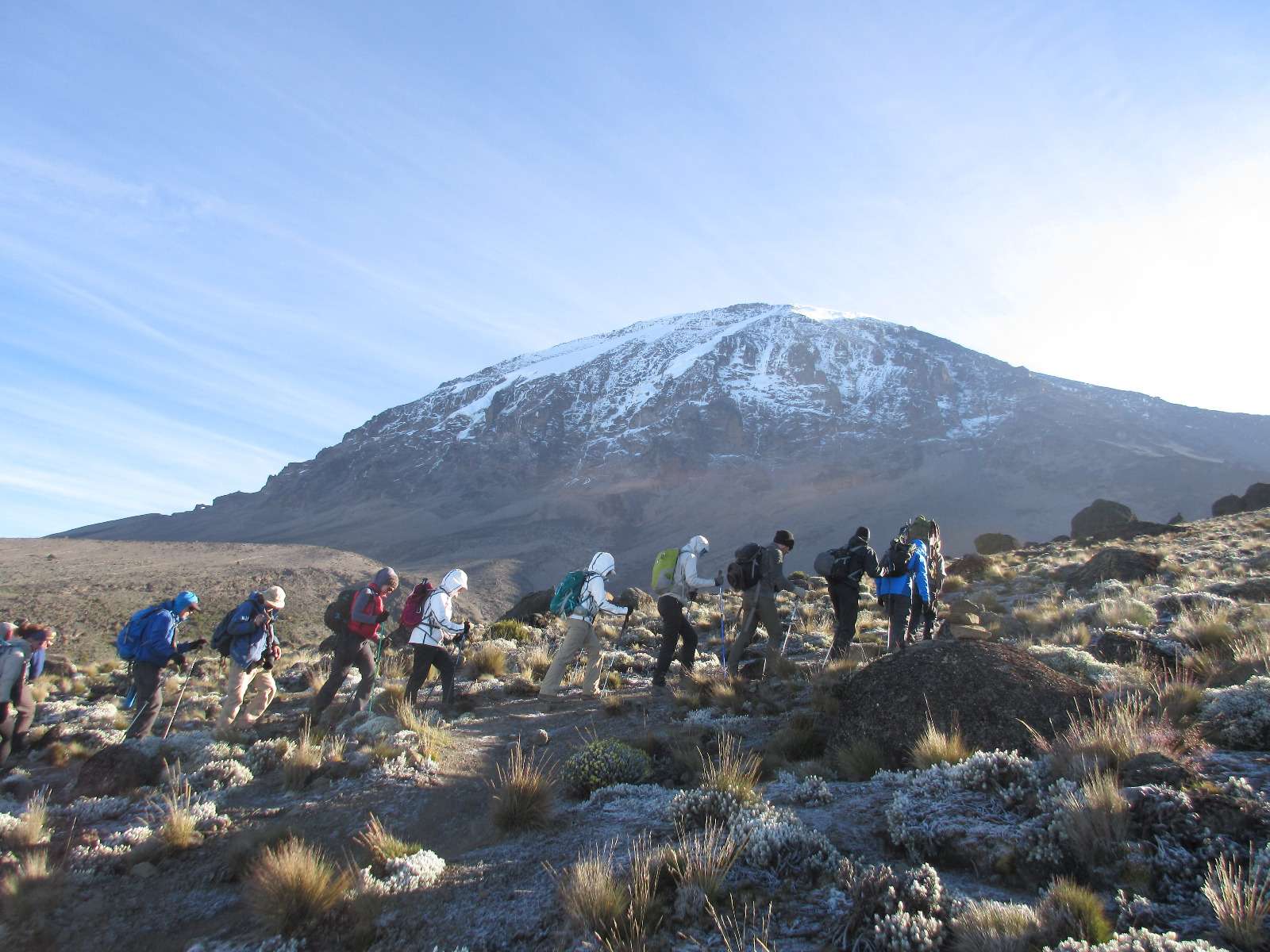
This special route combination is by a wide margin the least-used route on Kilimanjaro northern circuit route, getting you far away from the madding crowd. The trailhead is at high elevation, and thus we start slow and easy on this route. Kilimanjaro northern circuit route. The trail begins on the Shira Plateau, and the hike across the plateau is said to be one of the most stunningly beautiful hikes in Africa.
Early on we leave the tourist trails and head off across the north side of the mountain, facing Kenya and the famous Amboselli National Park. The spectacular hike along the northern circuit affords opportunities to see some animals; possible elephant, buffalo, eland, and signs of many other animals. Along this way we won’t see other tourists, only following cairns which signal the route.
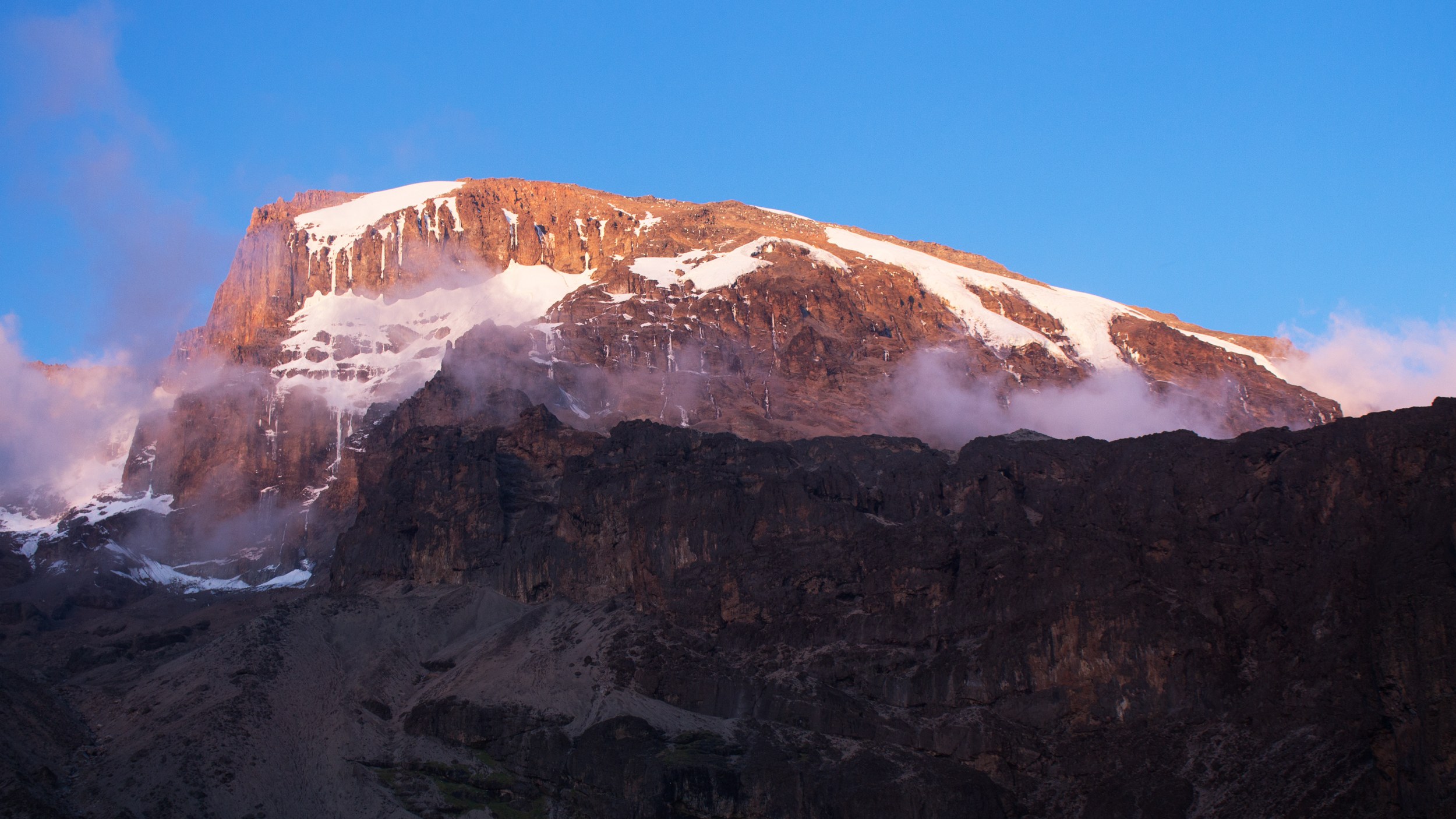
For the first four days we traverse the valleys and ridges of the entire north side of the mountain between 12,000’ 3,650 mt. to 14,000’ 4,265 mt, and on day 5 the trail reaches the base of Mawenzi, the second highest peak of Kilimanjaro- it’s jagged rock spires reaching 16,893’ 5,149 mt. From here we trek across the magnificent saddle between Mawenzi and Kibo Peak.
-
Departure/Return Location
Arusha City
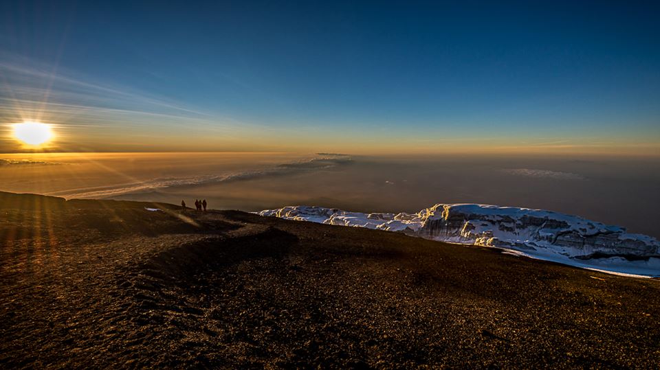
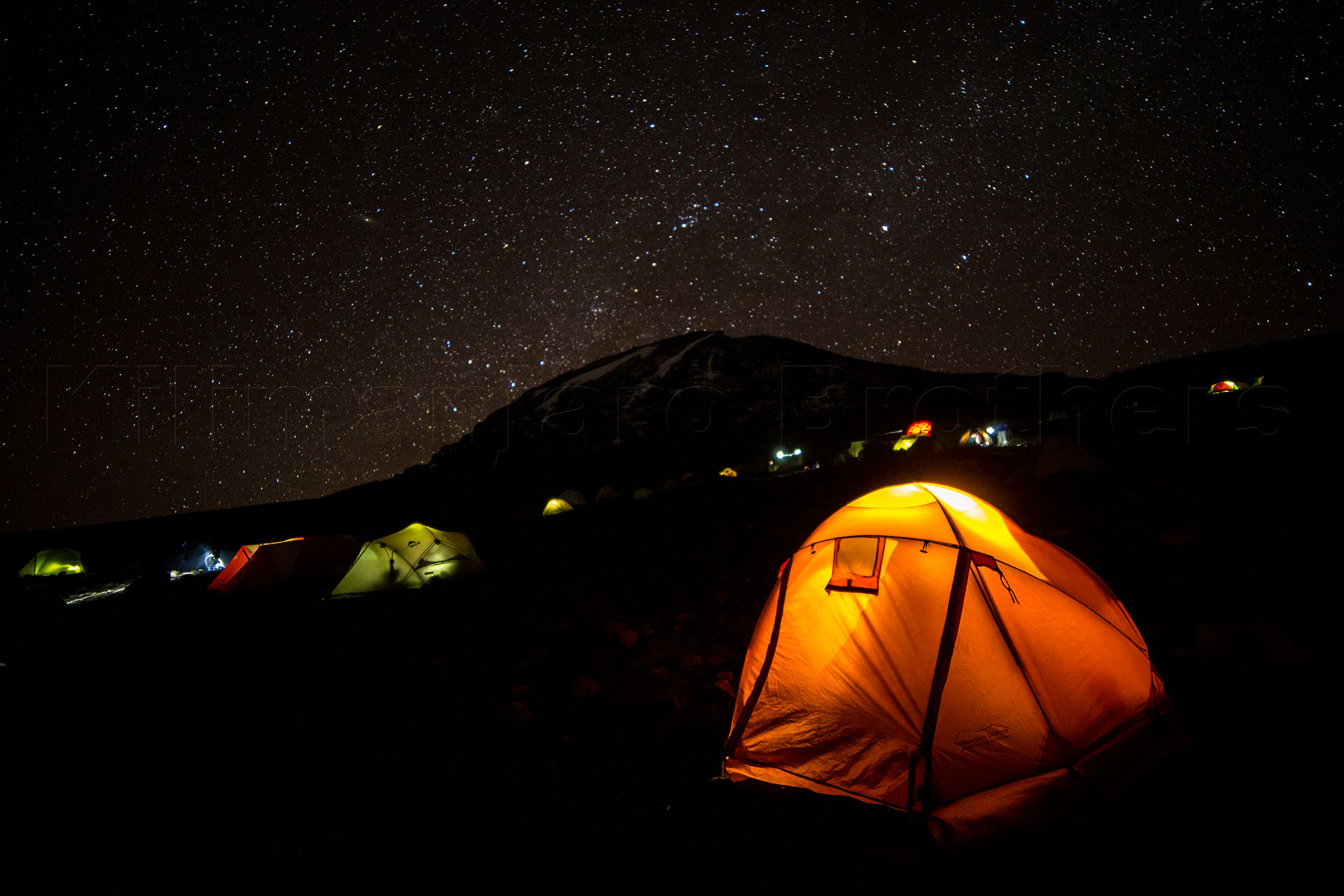
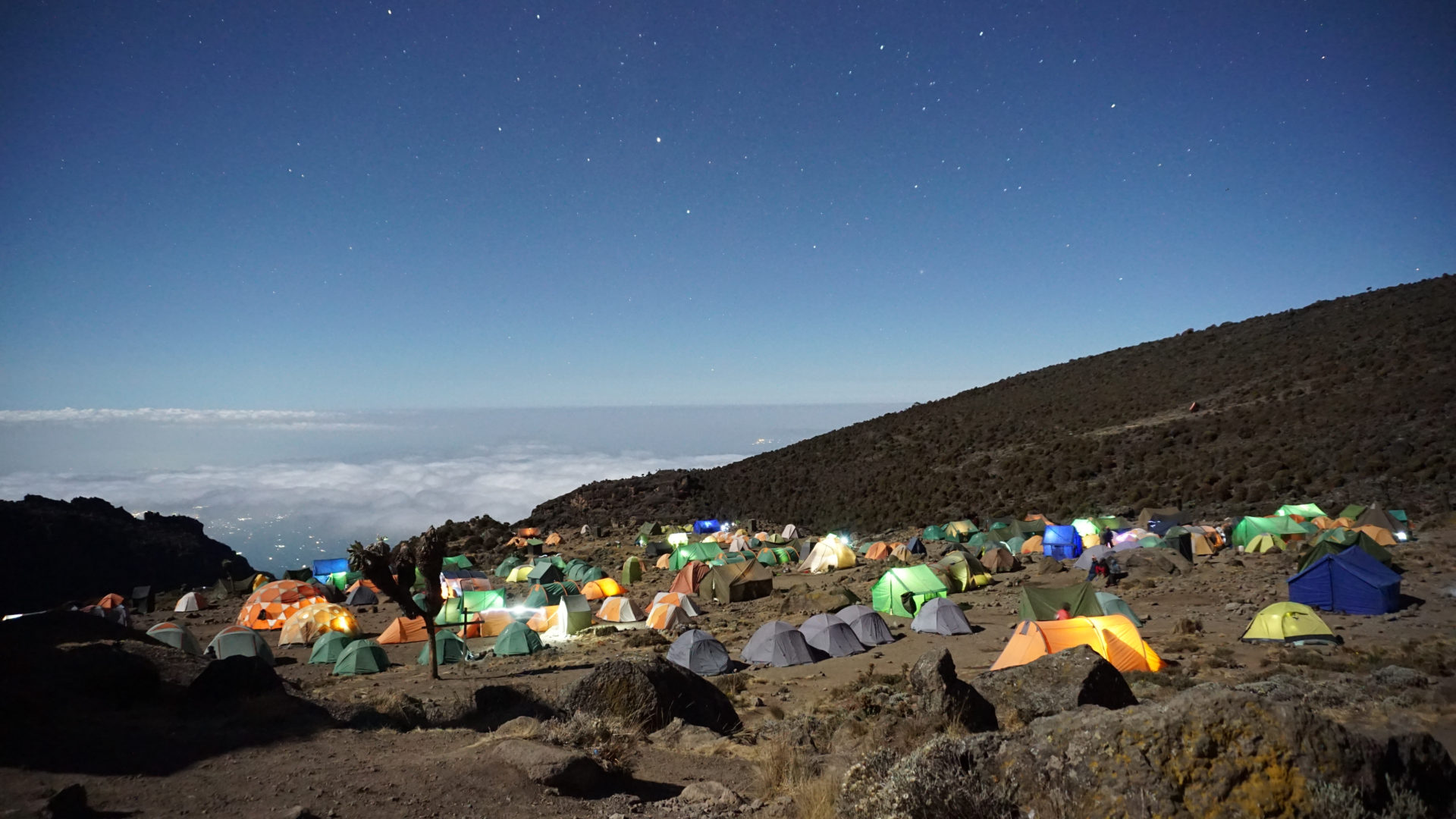
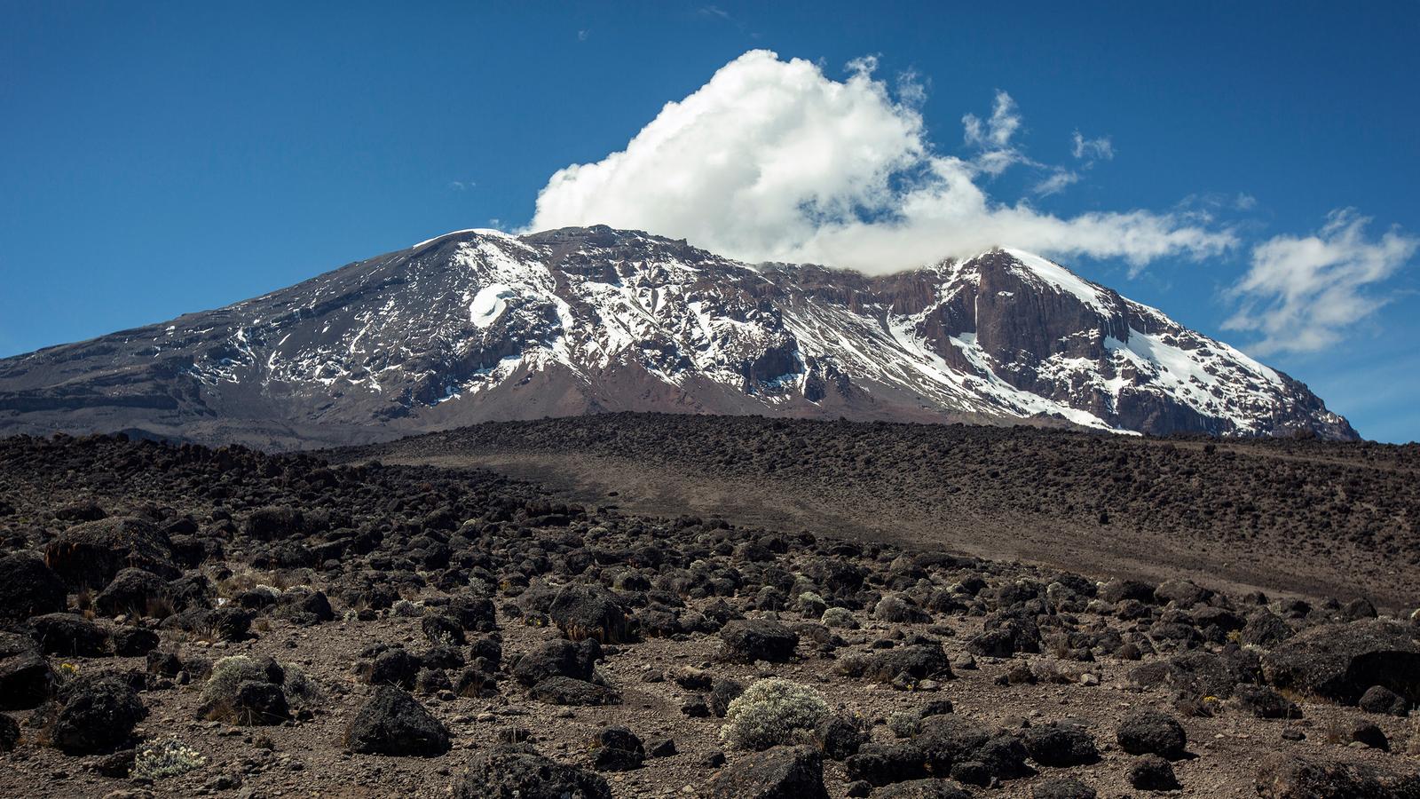
From our gallery
Tour Plan
Londorossi Gate to Mti Mkubwa
Mti Mkubwa to Shira Camp 1
Shira Camp 1 to Shira Camp 2
Shira Camp 2 to Moir Hut
Moir Hut to Buffalo Camp
Buffalo Camp to Third Cave
Third Cave to School Hut
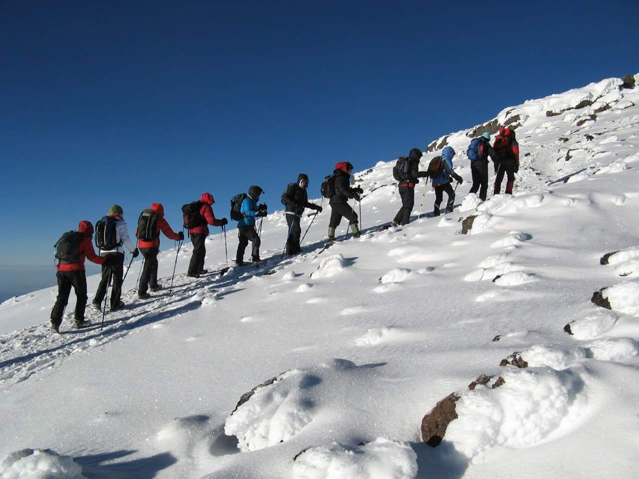
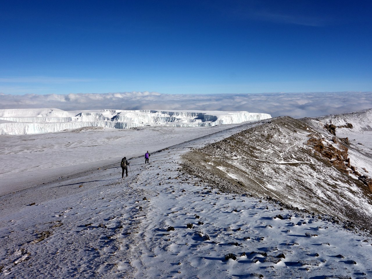
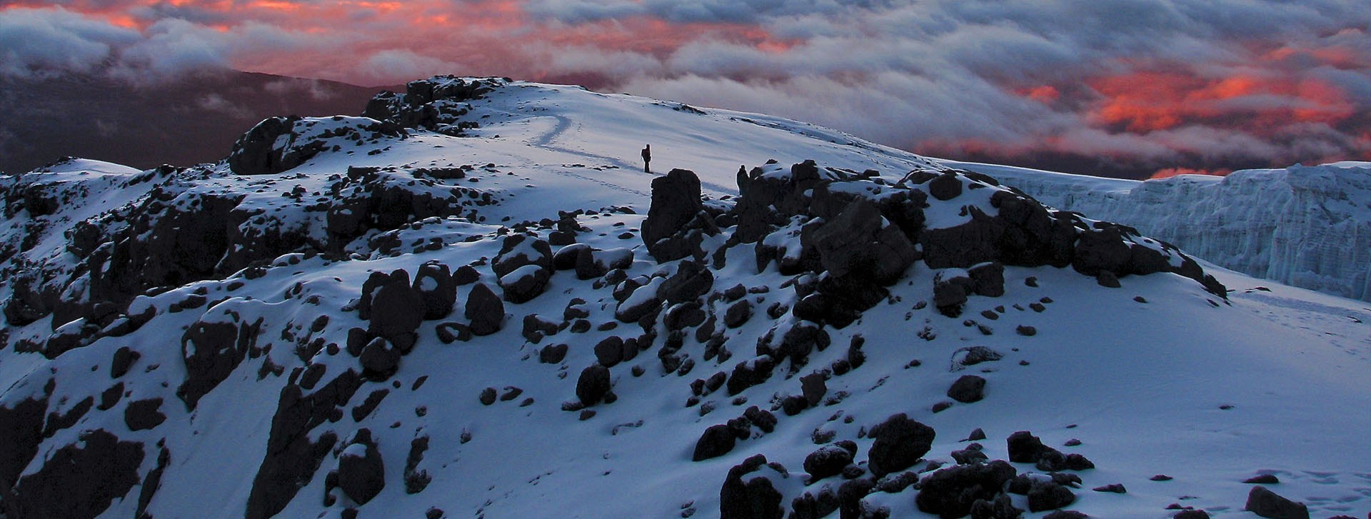
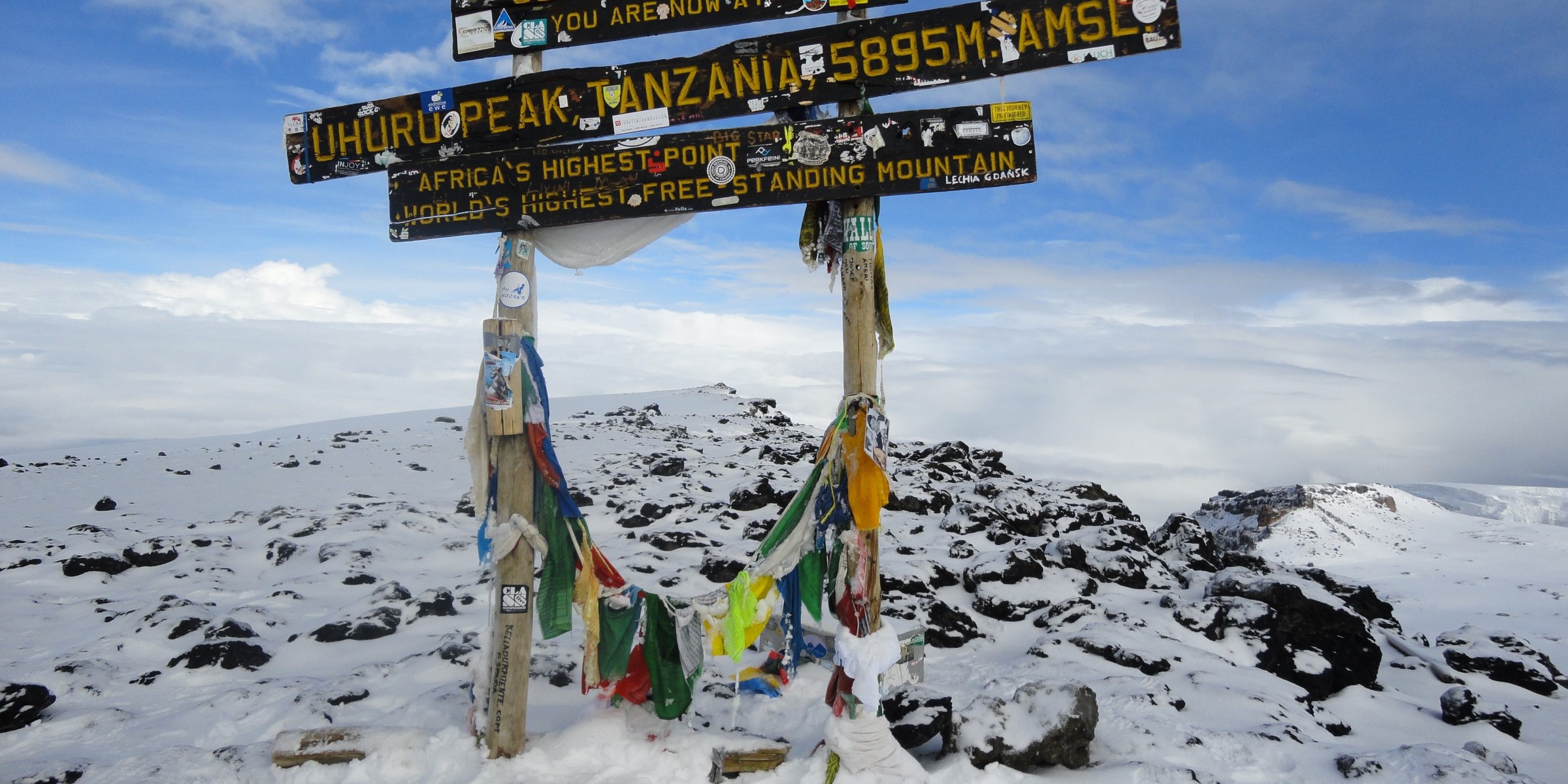
School Hut to Uhuru Peak
Mweka Hut to Mweka Gate